
$495.00
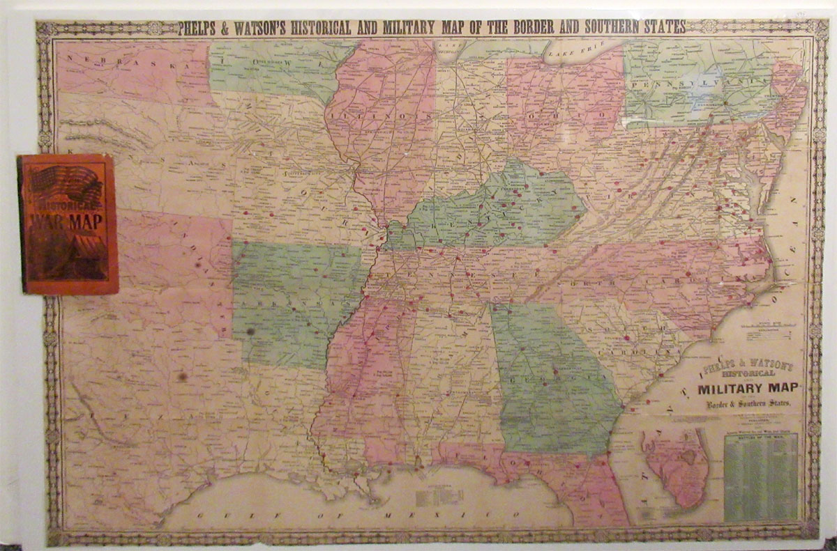
Description: We offer an uncommon 1865 folding map of the Southern United States published by Gaylord Watson.
The map unfolds to 25 ⅛” x 36” and is bound in illustrated stiff wraps measuring 7” x 4 ½”. The map is a hand colored lithograph with red dots indicating major engagements in the Civil War. Titled twice… along the top border and in the lower right corner: “Phelps and Watson’s Historical and Military Map of the Border and Southern States.” Item #PR00336.
Condition: There are a number of separations at the fold lines that have been repaired with archival mending tissue/tape, and a few errant spots. Generally the map is in good condition and still affixed to the wraps. It has been shrunk wrapped on 1/2" foamcore (not glued down) to prevent any damage.

Related products
-

John Gould Lithograph ‘Stercorarius Pomatorhinus’ from the Birds of Great Britian
$395.00 -

1740 Christian Wilhelm Ernst Dietrich Etching ‘Die Zum Tor Herauskommende Herde’
$225.00 -
![1493 Hartmann Schedel Woodcut Salczburga [Salzburg] from the Nuremberg Chronicles](https://holzmanantiques.com/wp-content/uploads/2019/11/Photomerge-300x300.jpg)
1493 Hartmann Schedel Woodcut Salczburga [Salzburg] from the Nuremberg Chronicles
$575.00 -

1761 Etching by Captain William Baillie British Warships
$250.00